Welcome to the new Phoenix.gov! We value your feedback. Let us know how we can improve.

City of Phoenix official website

Capitol North Neighborhoods

Capitol North Neighborhoods Mobility Study Logo

The goal of each T2050 Mobility Study is to improve safety, connectivity, and accessibility for all people -- regardless of their age or ability level -- who walk, ride a bicycle, or use transit to get to their important destinations.

Mobility Area Description

The south half of the Capitol North Neighborhoods Mobility Area almost exclusively is occupied by Arizona state government offices, including the capitol complex, and is a gateway neighborhood in​to downtown Phoenix. Grand Avenue is in the northeast corner of the Area which, over the past decade, has become a thriving arts and food district. Capitol Elementary is the only school present. There are two parks -- University Park and Woodland Parkway -- with Hu-O-Te Park lying just outside the Area. Central Arizona Shelter Services is located in the southeast corner of the Area and provides services to people in need, including housing facilities for the homeless.
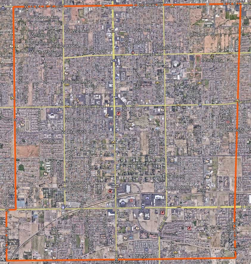
Map of Capitol North Neighborhoods area
Update / Next Steps

A list of proposed recommendations to improve pedestrian and bicycle mobility in the Capitol North Neighborhoods were identified by the study team based on an analysis of the study area and public input. This list is included in the Proposed Conditions Report available below in the next section. 

​Study Documents

Capitol North Neighborhoods Mobility Study Fact Sheet

Current Conditions Report

Stakeholder/Public Meeting Summaries

Online Survey Results

Proposed Conditions Report​

Project Manager Contact Information

Brian Fellows, Principal Planner

(602) 534-2163
T2050mobility@phoenix.gov